 |
|---|
1787 Map showing the Sudbrook area c. 1787 An image illustrating the Sudbrook area around 1787. Although Sudbrook doesn't get a mention, Portskewett and Black Rock do. The Chapel is also marked on the map as is "New Passage" which suggests the area was a well established ferrying point across the Severn at that time. The New Passage shown on the Map had been a Roman Ferry Route, since Roman Times. And closed upon the opening of the Severn Tunnel in 1886. The Black Rock Hotel (the house at Black Rock) was built to cater for increased traffic over the Ferry route after the coming of the South Wales Railway as a shorter route to South Wales avoiding the longer route via Gloucester to London. There was a wooden pier that went out from Black Rock that carried the trains, and was burnt to the ground on several occasions. A similar pier and Hotel existed at New Passage on the Bristol side, the Hotel still stands as a private residence but the Pier has long gone (just like Black Rock). Thanks to Lush Rob for contributing to the above. | 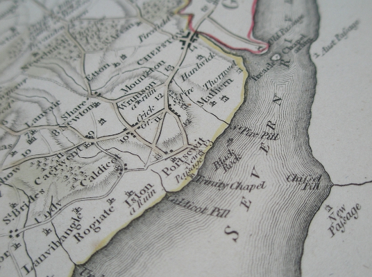 |
 Need help discovering your roots? Take a look at our hints and tips which will help you to get started! | 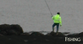 Fishing is a popular past-time. Traditional lave net fishing has been going on at Black rock for years... |
| Beach | Black Rock | Chapel | Cricket | Documents | Fishing |
| Genealogy | Hillfort | Housing | Map | News | Paper Mill |
| Pumping Station | Rail | River Severn | Severn Bridge | Severn Tunnel | Ship Building |
| St Marys | Tides |
| Sudbrook.Info ? MMXXII | Vergence Web Design |