 |
|---|
1750 Common Land This is a map showing the common land in South East Monmouthshire 1750-1850. The contour interval is 25 feet. | 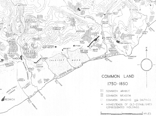 |
 Need help discovering your roots? Take a look at our hints and tips which will help you to get started! |  Fishing is a popular past-time. Traditional lave net fishing has been going on at Black rock for years... | 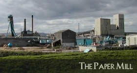 The paper mill was opened in 1958 by the Wiggins Teape Group. The site was picked because of the nearby water... |
| Beach | Black Rock | Chapel | Cricket | Documents | Fishing |
| Genealogy | Hillfort | Housing | Map | News | Paper Mill |
| Pumping Station | Rail | River Severn | Severn Bridge | Severn Tunnel | Ship Building |
| St Marys | Tides |
| Sudbrook.Info ? MMXXII | Vergence Web Design |